Bachelor Thesis: LiDAR-measurements on forests
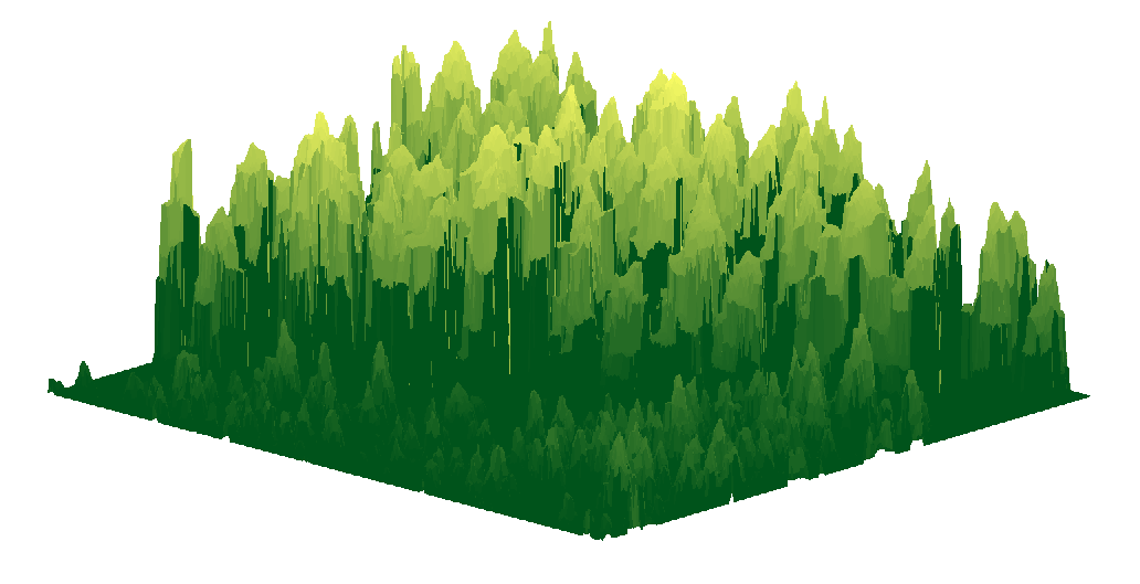
May 26, 2009, tags: chalmersAs my bachelor thesis, I finally chose the task of measuring individual trees from three dimensional images of a forest, generated by a helicopter equipped with a laser. The raw data was already generated for us so the work consisted mainly of image processing of this data.
The first and crucial part was, of course, to actually find the trees in the forest. The four of us split and implemented two such algorithms in parallell. I was part of implementing an advanced pattern recognition algorithm called Multiscale Isotropic Matched Filtering invented a few years earlier.
Both methods performed well but unfortunately the other algorithm, which was very simple and intuitive in contrast to ours, found more trees.
With the detected trees it was possible to compare our findings to data from ground measurements. With this knowledge it was possible to estimate the relationship between tree height and diameter for example and the tree biomass. The final goal was to get a good estimate of the total biomass in an area. The simple method overestimated the biomass with only 8% and was very accurate.
Anyway, it’s been a rather fun project and I find the area of image processing and pattern analysis very interesting.
Download Bachelor thesis report.